Recent image (6/22) of the house, AFTER the fire came through. See other
images below
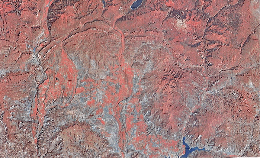
Color IR image of Durango, CO area (left center).
The lake just barely seen at the top is Vallecito Reservoir. Click on
image for close-up of area of our property at 8600', which is near the
middle top edge, just west of the lake and a snow-capped hill.
The 2002 fire in the vicinity of our property
In fact, you can see our circle about 1-1/2" to the right of the center
and about 2" from the bottom.
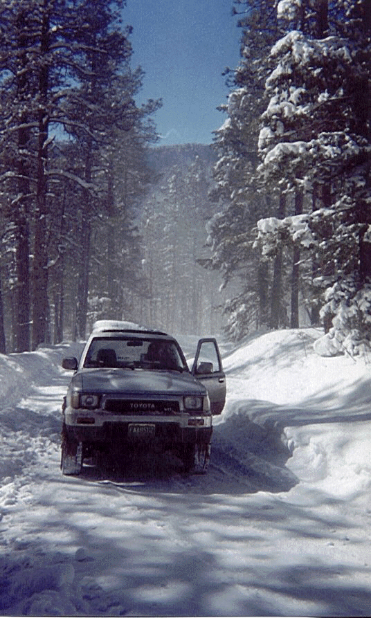
On the road up to our land, at about 8400', just after a 15" snowfall.
Note the cleared road! January 2001
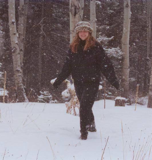
Jackie in the snow on the property in March 2002
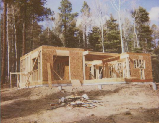
The cabin in early May 2002, just being framed.
Some images related to the fire of June-July 2002:
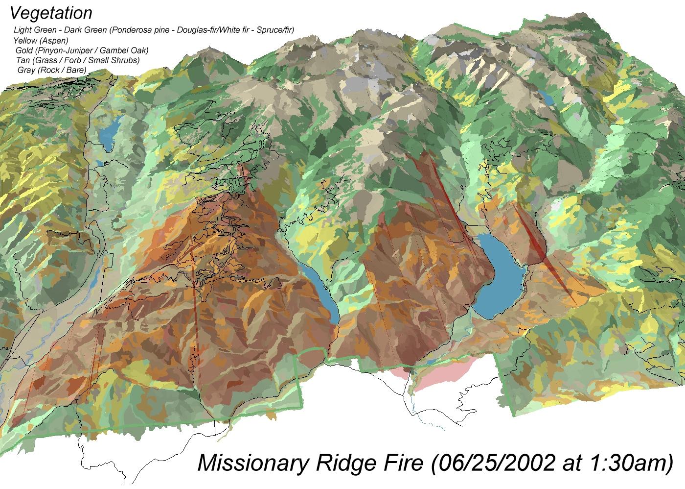
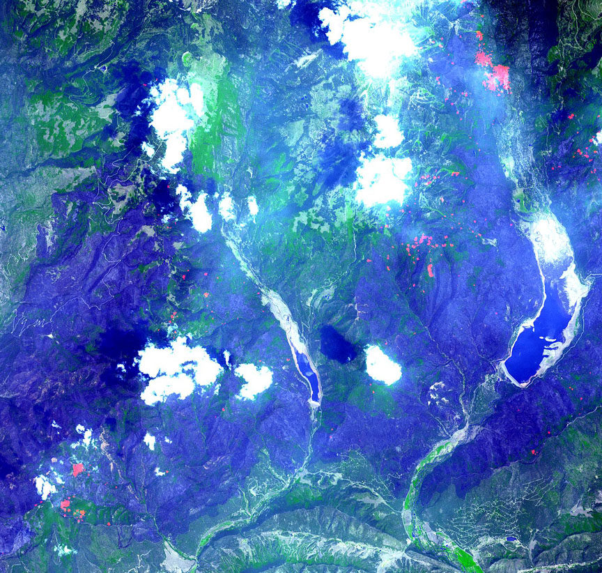
Vegetation Map of the Durango fire area
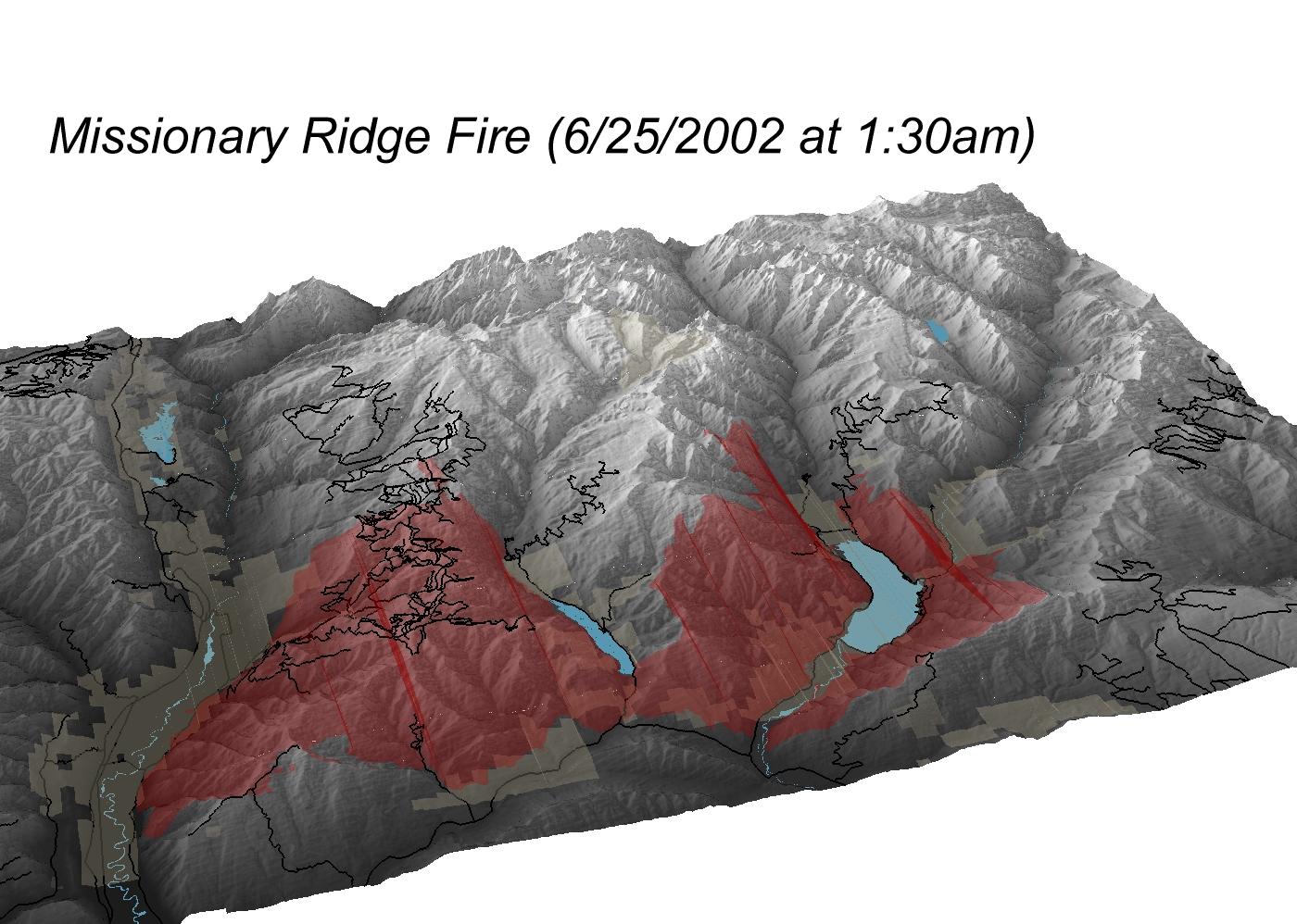
3-D Map showing fire areas
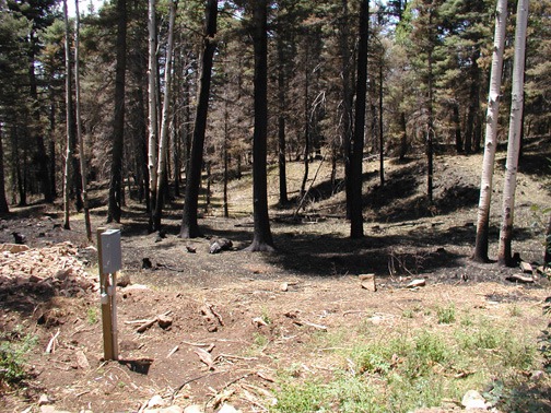
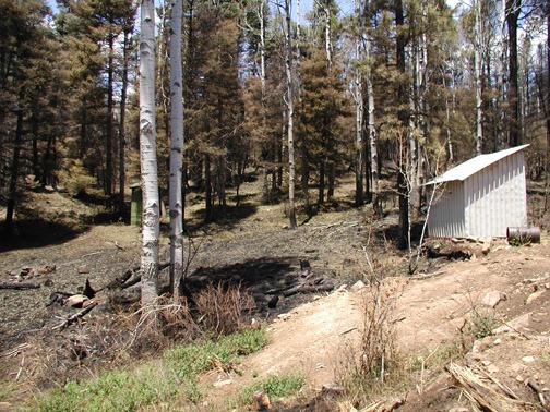
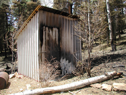
Views of the Property after the fire
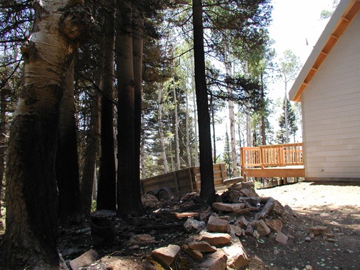
Oops! A bit close!
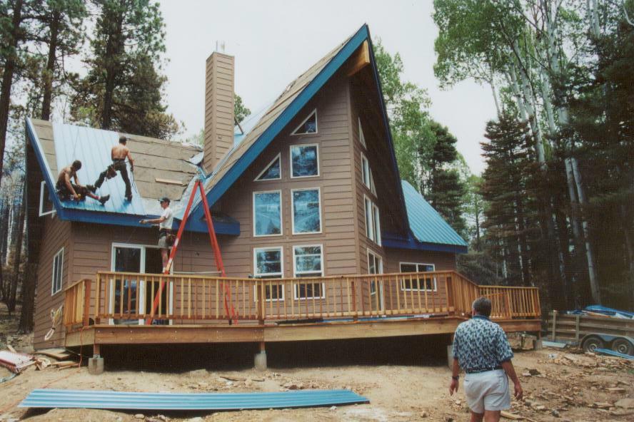
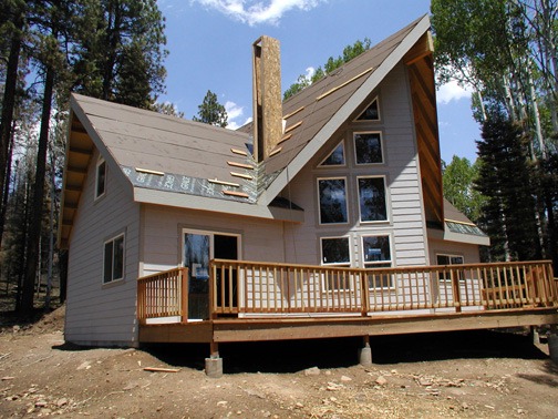
The house with the roof nearly finished. July 2002. Deepest gratitude to the Upper Pine fire fighters and aerial fire fighters.
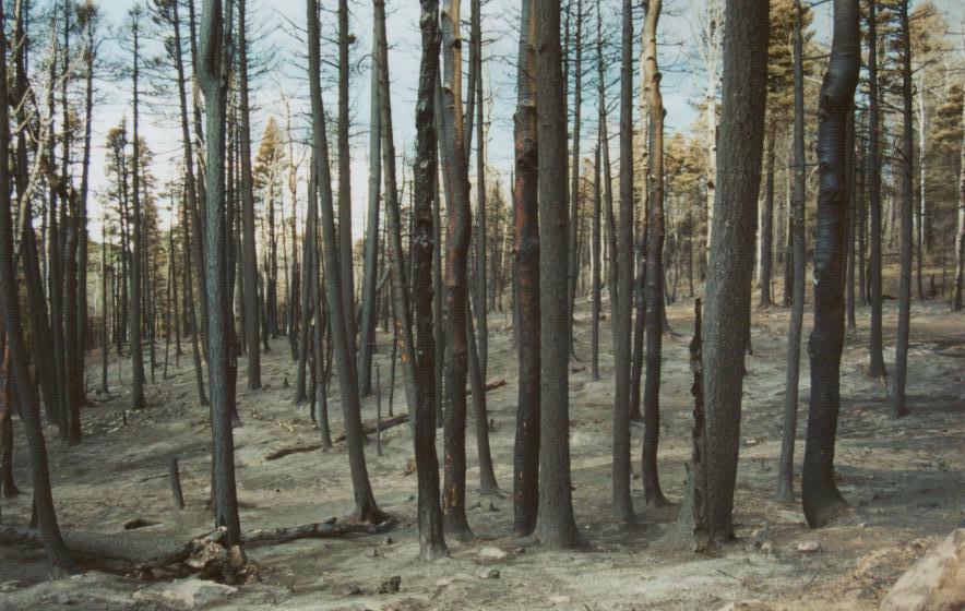
Burned timber about 200 yrds north of our property, looking south.