MAP AND REMOTE SENSING RESOURCES

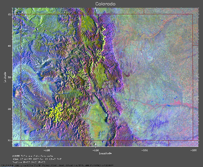
Satellite Map of Colorado, copyright Johns Hopkins Applied Physics Laboratory. See landform atlas below.

/USGS Topographic Maps from Topozone.com

Texas County Maps

Texas hill country information service

University of Texas PCL Map Collection

Color Landform Atlas of the U.S.

Relief Maps of the U.S.

Lucent Technologies MapsOnUs

Maps from MapBlast

Yahoo's Map Resources

SEAWIFS Satellite images of phytoplankton, i.e., chlorphyll concentrations

NASA/U. COLO. Real-time sea-surface altimeter homepage

UCC Map site and links